
Area 845.9 km² | Local time Sunday 4:06 PM | |
 | ||
Weather 24°C, Wind SE at 13 km/h, 72% Humidity | ||
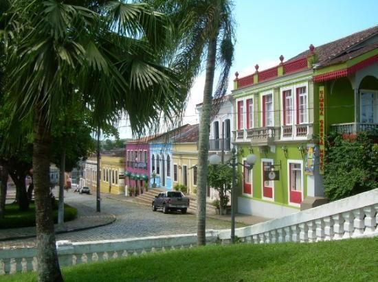
Antonina is a municipality in the state of Paraná in southern Brazil. It has about 20,000 inhabitants.
Contents
Map of Antonina, Paran%C3%A1, Brazil
Geography
Antonina has an area of 845.853 square kilometres (326.586 sq mi). It is located at 25°6′0″S 48°43′00″W. It is 80 km away from Curitiba.
The municipality contains 29% of the 2,699 hectares (6,670 acres) Roberto Ribas Lange State Park, created in 1994. It contains part of the 4,334 hectares (10,710 acres) Pico Paraná State Park, created in 2002. It also holds 30% of the 34,179 hectares (84,460 acres) Bom Jesus Biological Reserve, a strictly protected conservation unit established in 2012.
History
The small town Antonina was former known as “Capela” – as a chapel has been built there in the 18th century. Due to this fact the inhabitants are called “capelistas” until today. The official name is in honor to King Antonio of Portugal.
Culture
Antonina hosts a July winter festival promoted by the Federal University of Paraná, which develops several workshops and shows during this time in the village. The carnival takes place within several blocks and features samba groups.