
Country Cuba Time zone EST (UTC-5) Website Municipality website Area 101 km² Population 12,542 (2004) | Established 1907 Area code(s) +53-24 Elevation 5 m Local time Sunday 10:32 AM | |
 | ||
Weather 27°C, Wind E at 10 km/h, 63% Humidity | ||
Antilla is a municipality and town in Holguín Province of Cuba. It was founded in 1907 as a railroad terminal and port town.
Contents
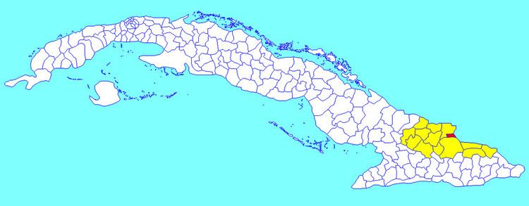
Map of Antilla, Cuba
Geography
It is located on the north-eastern shore of Cuba, on a peninsula between the Gulf of Nipe and Banes Bay. The municipality covers 101 km² and contains the communities of Bijarú, Canalito, Cortaderas, Deleite, Este Cabecera, Los Novillos, Oeste Cabecera, San Jerónimo and Sao de los Hidalgos.
Demographics
In 2004, the municipality of Antilla had a population of 12,542. With a total area of 101 km2 (39 sq mi), it has a population density of 115.3/km2 (299/sq mi).
References
Antilla, Cuba Wikipedia(Text) CC BY-SA