Length 26 mi (42 km) NNE Topo map USGS Segura Ranch Country United States of America | Width 9.3 mi (15.0 km) E - W Elevation 3,080 m | |
 | ||
Districts Nye County and Eureka County | ||
The Antelope Range is a mountain range in Nye County, Nevada. A small part of the range extends north into southern Eureka County. The community of Eureka is about 35 km (22 mi) to the northeast of north end of the range.
Contents
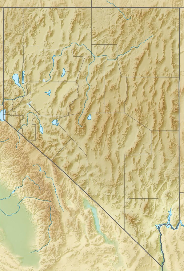
Map of Antelope Range, Nevada 89049, USA
The Antelope Range is a north-northeast trending linear range with a length of approximately 42 km (26 mi) and a width of about 15 km (9.3 mi). The Monitor Range lies to the west across the Antelope Valley on the northwest and Little Fish Lake Valley on the southwest. Hot Creek Range adjoins the range to the south across Long Canyon. To the east lie the Park Range and Little Smokey Valley with the Fish Creek Range to the northeast.
Highest peaks in the range are Ninemile Peak at 3,080 m (10,100 ft) just south of the Eureka–Nye County line and Moonshine Peak 2,877 m (9,439 ft) about 18.4 km (11.4 mi) to the south. Little Smokey Valley floor 20.7 km (12.9 mi) east of Ninemile Peak is at an elevation of 1,850 m (6,070 ft).
