
Country United States GNIS feature ID 430182 Zip code 47832 | State Indiana Elevation 197 m Local time Saturday 6:35 PM | |
 | ||
Weather 0°C, Wind W at 24 km/h, 53% Humidity | ||
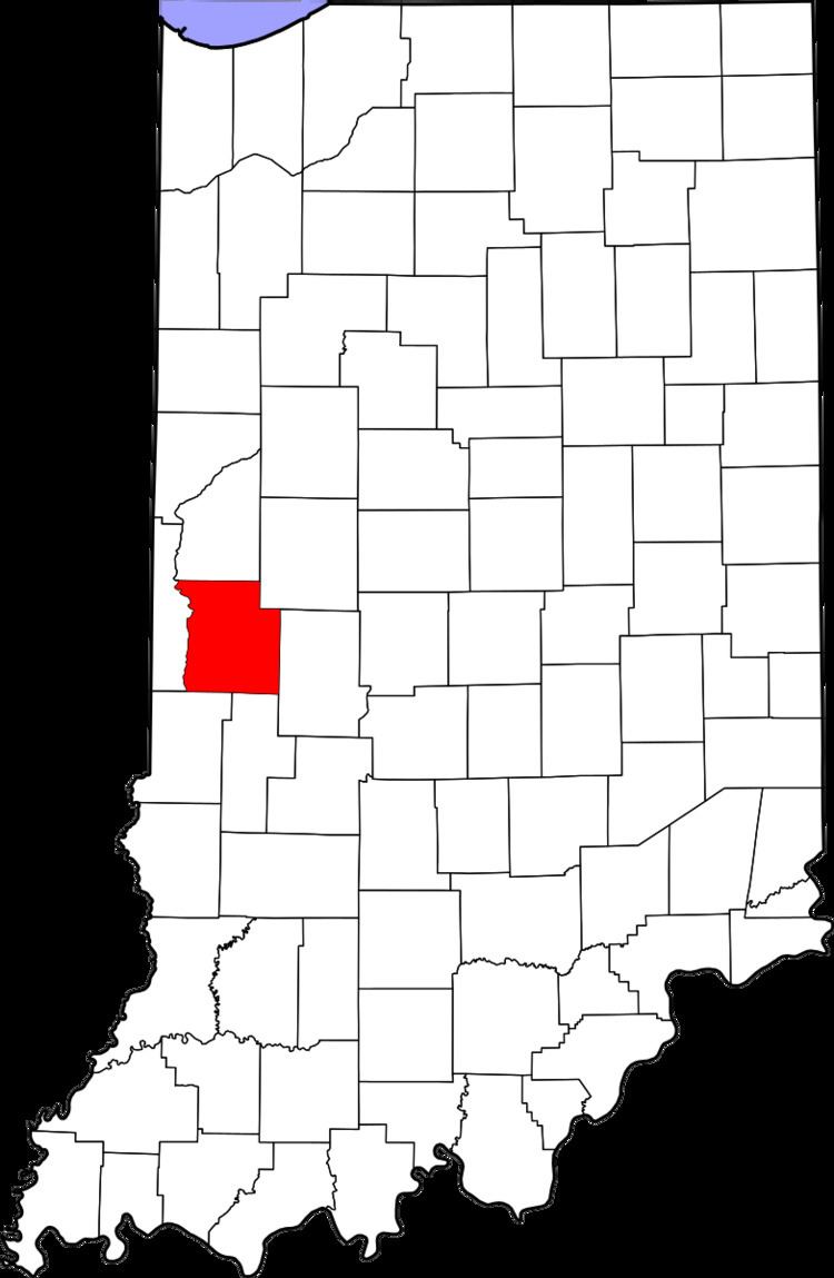
Annapolis is an unincorporated community in Penn Township, Parke County, Indiana, United States.
Contents
Map of Annapolis, IN 47832, USA
History
Annapolis was first settled in 1825 or 1826. It was platted on February 4, 1837, by settlers William Maris, Sr., and John Moulder. As of 1910, its population was about 200. It was probably named after Annapolis, Maryland. A post office was established at Annapolis in 1837, and remained in operation until 1905.
Geography
Annapolis is located in northwestern Parke County, about 1 mile (1.6 km) north of Bloomingdale and less than one mile west of U.S. Route 41. Its elevation is 646 feet.
References
Annapolis, Indiana Wikipedia(Text) CC BY-SA