Population 3,726 (2011 census) Area 23.1 km (8.9 sq mi) LGA(s) Port Stephens Council Local time Sunday 7:03 AM | Postcode(s) 2316 Time zone AEST (UTC+10) Postal code 2316 | |
 | ||
Location 200 km (124 mi) NNE of Sydney
51 km (32 mi) NE of Newcastle
34 km (21 mi) E of Raymond Terrace Weather 22°C, Wind SE at 16 km/h, 79% Humidity Points of interest Stockton Beach, Oakfield Ranch, Birubi Beach | ||
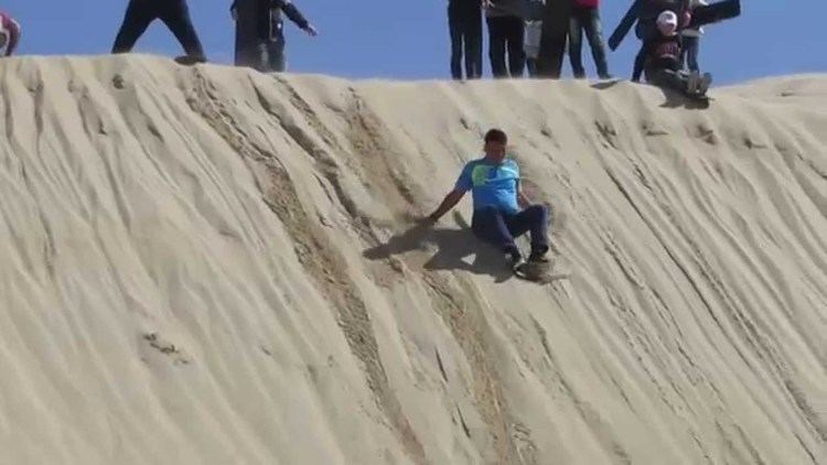
Anna Bay is the name of a suburb, a town and a bay in the Port Stephens local government area in the Hunter Region of New South Wales, Australia. The suburb and town are immediately adjacent to the north-eastern end of Stockton Beach and the town provides one of the major entry points to the beach here. Both were named after the bay of the same name which is now located in the adjacent suburb of One Mile.
Map of Anna Bay NSW 2316, Australia
During World War II Stockton Beach was heavily fortified against a possible amphibious assault by Imperial Japanese forces and a line of tank traps was installed to prevent entry to the local area through the town. Many of the tank traps were removed after the war and now feature significantly around the car parking areas at the beach.
References
Anna Bay, New South Wales Wikipedia(Text) CC BY-SA
