
OS grid reference TF741295 Country England Post town KING'S LYNN Area 5.86 km² Shire county Norfolk | Region East Sovereign state United Kingdom Postcode district PE31 Local time Saturday 7:35 PM Dialling code 01485 | |
 | ||
Weather 9°C, Wind SW at 37 km/h, 89% Humidity District King's Lynn and West Norfolk | ||
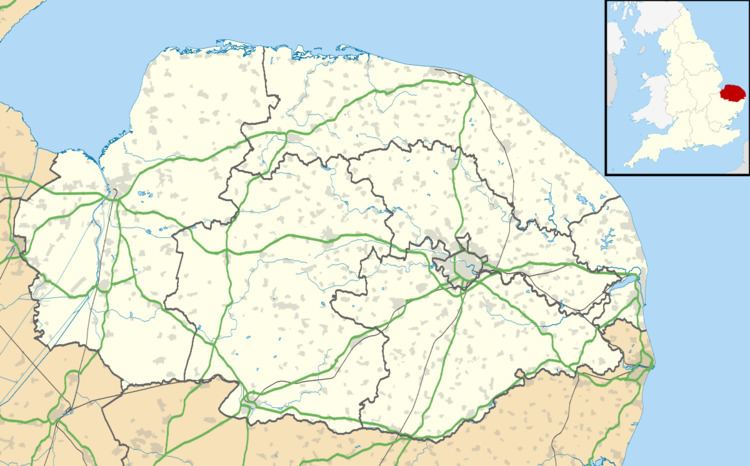
Anmer is a small village and civil parish in the English county of Norfolk. It is around 12 miles (19 km) north-east of the town of King's Lynn and 35 miles (56 km) north-west of the city of Norwich. The parish is in the district of King's Lynn and West Norfolk and at the 2001 census had a population of 63 in 29 households.
Map of Anmer, UK
The place-name 'Anmer' is recorded in the Domesday Book of 1086, where it appears as Anemere. This name derives from the Old English 'aened-mere', meaning 'duck mere or lake'. The parish contains evidence of settlement from the Bronze Age onwards, with a number of bronze age barrows to the east of the village.
Anmer Hall, the former residence of the Duke and Duchess of Kent, dates from the 18th century ad stands at the centre of a landscape park laid out in 1793. This led to the clearance of the original medieval settlement and its relocation to the north-west of the hall, creating the modern village. This involved the closure of all roads across the park. A number of earthworks, including a two metre deep hollow way, are preserved at the site of the medieval village.
The hall is located west of the village and is linked to the nearby Sandringham estate by a long straight road known as ‘The Avenue’. In 2014 it was renovated as the new country home of the Duke and Duchess of Cambridge. The parish church, which is dedicated to St Mary, is on the Anmer Hall estate. It was restored in the 19th century.