
Subdivisions of Scotland Angus Created from East Angus Member of parliament Mike Weir | Created 1997 European Parliament constituency Scotland Replaced by East Angus | |
 | ||
Major settlements Arbroath, Brechin, Forfar, Montrose | ||
Angus is a county constituency of the House of Commons of the Parliament of the United Kingdom (at Westminster). It elects one Member of Parliament (MP) by the first-past-the-post voting system.
It was created for the 1997 general election, largely replacing East Angus. As a result of boundary changes for the 2005 general election, boundaries are now quite different from those of the Angus Scottish Parliament constituency, which was created in 1999.
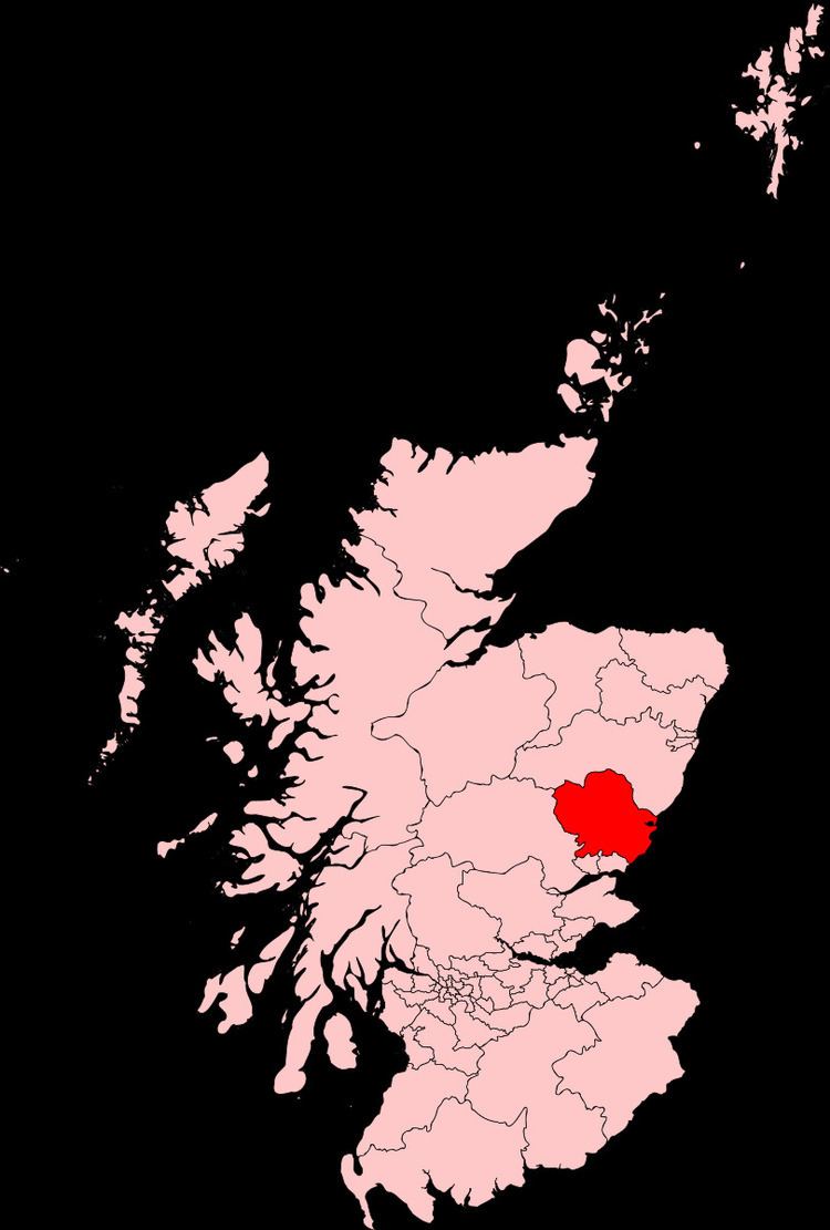
The constituency is dominated by farmland, and includes the towns of Arbroath, Montrose, Brechin and Forfar.
Boundaries
1997-2005: The Angus District electoral divisions of Arbroath Central, Arbroath East, Arbroath North and Central Angus, Carnoustie East and Arbroath West, Carnoustie West, Montrose North, and Montrose South, and the City of Dundee District electoral divisions of Monifieth and Sidlaw.
2005-present: The Angus Council wards of Arbirlot and Hospitalfield, Arbroath North, Brechin North Esk, Brechin South Esk, Brechin West, Brothock, Cliffburn, Forfar Central, Forfar East, Forfar South, Forfar West, Harbour, Hayshead and Lunan, Keptie, Kirriemuir East, Kirriemuir West, Letham and Friockheim, Montrose Central, Montrose Ferryden, Montrose Hillside, Montrose West, and Westfield and Dean.
The constituency covers the Angus council area, minus an area round the Dundee City council area, which is divided between the Dundee East and Dundee West constituencies.
Major towns in the House of Commons constituency are Arbroath, Brechin, Forfar, Kirriemuir and Montrose.