
Type artificial lake Surface area 4,407 acres (17.83 km) Area 17.84 km² Shore length 67.6 km | Primary inflows Max. depth 75 ft (23 m) Surface elevation 953 m Outflow location Cheyenne River | |
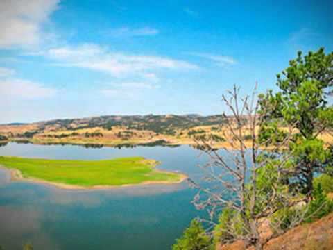 | ||
Angostura Reservoir is a reservoir on the Cheyenne River in Fall River County, South Dakota, USA. It was created after the construction of Angostura Dam in 1949 for irrigation. "Angostura" means "narrows" in Spanish.
Map of Angostura Reservoir, Northeast Fall River, SD 57747, USA
The reservoir covers an area of 4,407 acres (17.83 km2), has a surface elevation of 3,127 ft (953 m), and a maximum depth of 75 ft (23 m).
The reservoir is the location of the Angostura Recreation Area and is a popular location for boating, swimming, and fishing. The lake supports populations of walleye, northern pike, smallmouth bass, and sunfish. As one of the only large bodies of water in the area, Angostura Reservoir is also an important location for migratory birds.
References
Angostura Reservoir Wikipedia(Text) CC BY-SA