
Time zone CET (UTC+1) Population 1,222 (1999) | Region Normandy Canton Criquetot-l'Esneval Area 9.91 km² Local time Saturday 11:41 AM | |
 | ||
Weather 7°C, Wind S at 21 km/h, 73% Humidity | ||
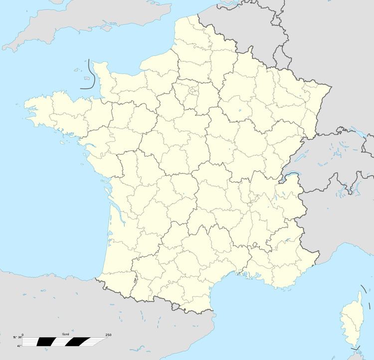
Angerville-l’Orcher is a commune in the Seine-Maritime department in the Haute-Normandie region in northern France.
Contents
Map of Angerville-l'Orcher, France
Geography
A farming village situated in the Pays de Caux, some 9 miles (14 km) northeast of Le Havre, at the junction of the D39 and the D52.
Places of interest
References
Angerville-l'Orcher Wikipedia(Text) CC BY-SA