
Country India District East Godavari Time zone IST (UTC+5:30) Local time Friday 4:31 AM | State Andhra Pradesh Named for Handloom Sarees Population 14,000 (2011) Area code 08855 | |
 | ||
Talukas Kapileswarapuram Mandal Weather 21°C, Wind N at 2 km/h, 94% Humidity | ||
Angara is a village in East Godavari district of Andhra Pradesh in India.
Contents
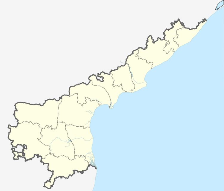
Map of Angara, Andhra Pradesh 533307
It is an upcoming census town in Kapileswarapuram Madal. It has 2 movie theatres are Sri Bhimeswara A/C 7.1DOLBY and Sri Venkeswara A/C (still in modification works). One of heritage group plants are situated in Yandagani is 5 km from angara.Two ONGC sub plants are in Angara and one more ONGC sub plant vakatippa 7 km from Angara. The river Godavari is 4 km from Angara. The government hospital and police station are available in Angara.
Transport
The village is 10 km from Mandapeta Town, 15 km from Ravulapalem Town, 15 km from Ramachandrapuram, 10 km from NH5, 10 km from Kotipalli, 55 km from Kakinada and 42 km from Rajahmundry. An Indian Oil Petrol Station is available in Angara. The nearest Railway Stations are K.Gangavaram 16 km, Dwarapudi 20 km and Rajahmundry 34 km. The nearest airport is Rajahmundry Airport 51 km from Angara. Nearest sea ports are Yanam 41 km and Kakinada Sea Port 41 km from Angara.