
Coat of arms Flag selsoviet 8 Area 2,388 km² | Rural localities 29 | |
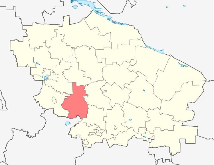 | ||
Andropovsky District (Russian: Андро́повский райо́н) is an administrative district (raion), one of the twenty-six in Stavropol Krai, Russia. Municipally, it is incorporated as Andropovsky Municipal District. It is located in the southwest of the krai. The area of the district is 2,388 square kilometers (922 sq mi). Its administrative center is the rural locality (a selo) of Kursavka. Population: 35,437 (2010 Census); 35,670 (2002 Census); 32,216 (1989 Census). The population of Kursavka accounts for 33.4% of the district's total population.
Map of Andropovsky District, Stavropol Krai, Russia
References
Andropovsky District Wikipedia(Text) CC BY-SA