
Established 1991 LGA(s) City of Playford Founded 1991 | Postcode(s) 5114 State electorate(s) Taylor (2011) Postal code 5114 | |
 | ||
Population 6,275 (2011 census)
3,336 (2006 census) Location 29 km (18 mi) NE of Adelaide city centre Federal division Division of Wakefield (2011) | ||
Andrews Farm is a northern suburb of Adelaide, South Australia. It is located in the City of Playford.
Contents
- Map of Andrews Farm SA 5114 Australia
- History
- Geography
- Demographics
- Community
- Facilities and attractions
- Transportation
- References
Map of Andrews Farm SA 5114, Australia
History
Andrews Farm was founded in 1991 as a subdivision in the then Munno Para Council.
Geography
Andrews Farm is rectangular in shape, and lies north of Elizabeth. It is bounded by the Northern Expressway, Curtis Road, Stebonheath Road and Petherton Road.
Demographics
The 2006 Census by the Australian Bureau of Statistics counted 3,336 persons in Andrews Farm on census night. Of these, 48.1% were male and 51.9% were female.
The majority of residents (79.8%) are of Australian birth, with an additional 8.1% declaring England as their country of birth.
The average age of Andrews Farm residents is lower than the greater Australian population. 54.0% of residents were over 25 years in 2006, compared to the Australian average of 66.5%; and 46.0% were younger than 25 years, compared to the Australian average of 33.5%.
Community
The local newspaper is the News Review Messenger. Other regional and national newspapers such as The Advertiser and The Australian are also available.
St Columba College is located near the centre of the suburb.
Facilities and attractions
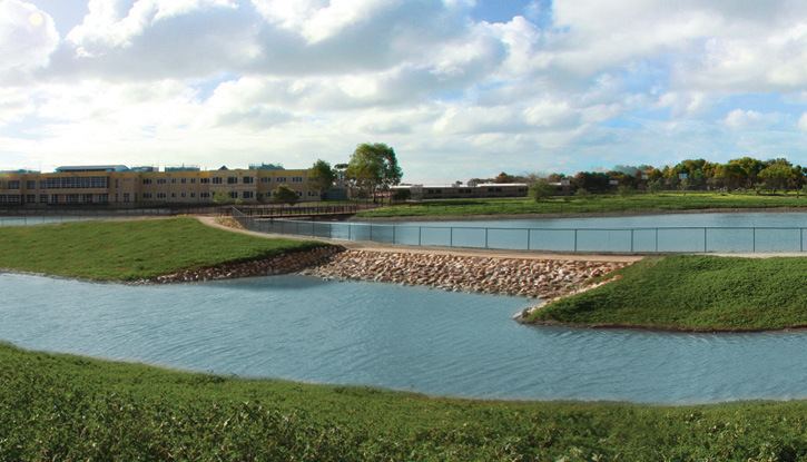
The largest parkland in Andrews Farm is Stebonheath Park, located in the central east of the suburb. Andrews Park lies in the northeast.
Transportation
Andrews Farm is serviced by Curtis Road, linking the suburb to Munno Para, Angle Vale and the Max Fatchen Expressway. Davoren Road connects Andrews Farm to Smithfield.
Andrews Farm is serviced by buses operated by the Adelaide Metro. The main bus routes through the suburb use Curtis Road, President Avenue and East parkway. Other routes service the edges of the suburb along Curtis Road or Stebonheath Road. Bus routes connect to Elizabeth Interchange, Smithfield Interchange and the Munno Para Shopping City interchange.
Bicycle paths lie throughout Stebonheath Park. The Stuart O'Grady Bikeway skirts the western edge of Andrews Farm adjacent to the Max Fatchen Expressway with access at Curtis Road and Petherton Road (gate).