
Country United States Elevation 1,267 m | Time zone Pacific Local time Thursday 3:25 AM | |
 | ||
Weather -4°C, Wind SW at 8 km/h, 65% Humidity | ||
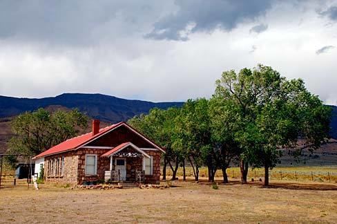
Andrews is a ghost town in Harney County, Oregon, United States. It is located south of Steens Mountain and near the Alvord Desert.
Contents
Map of Andrews, OR 97721, USA
History
The community was named for Peter Andrews, who settled in the area about 1880. A post office was established on Andrews' property in 1890. The post office was moved north a short distance in 1900 and called "Wildhorse" or "Wild Horse". Locals referred to it as "Wild Hog", however, so the postmaster changed the name to honor his friend Andrews.
The population of Andrews slowly declined until only one house remained. When it burned down in 1996, the community became a ghost town.
Climate
According to the Köppen Climate Classification system, Andrews has a semi-arid climate, abbreviated "BSk" on climate maps.
References
Andrews, Oregon Wikipedia(Text) CC BY-SA