
Country India District Vizianagaram Time zone IST (UTC+5:30) | State Andhra Pradesh Elevation 127 m (417 ft) Vehicle registration AP-35 | |
 | ||
Andra (Telugu: ఆండ్ర) is a village and panchayat in Mentada mandal, Vizianagaram district of Andhra Pradesh, India. It is located about 7 km from Mentada and about 34 km from Vizianagaram city.
Contents
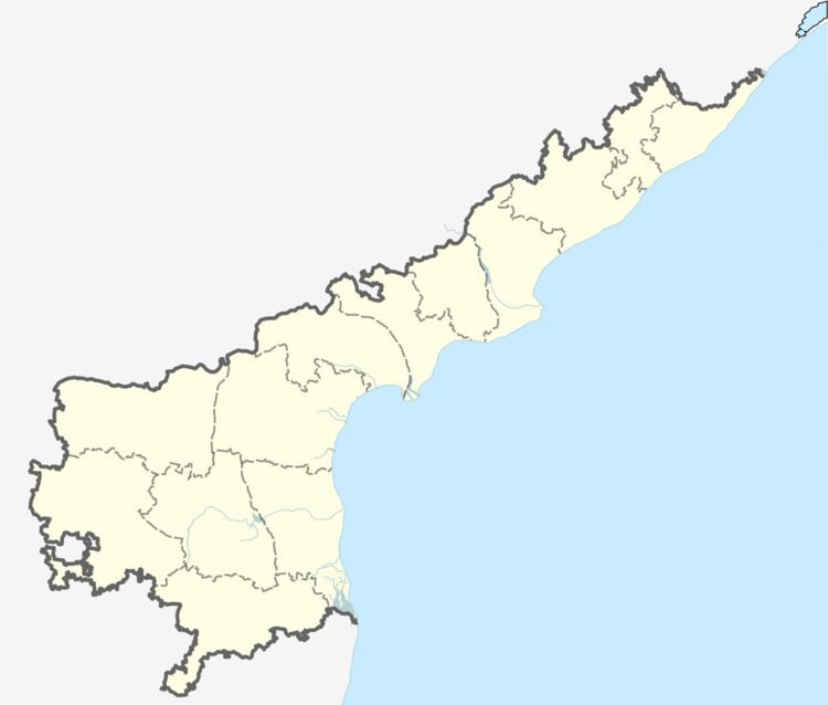
Map of Vizianagaram, Andhra Pradesh
Geography
Andhra is located at 18.3500°N 83.2000°E / 18.3500; 83.2000. It has an average elevation of 127 meters (419 feet).
Andra Reservoir Project
Institutions
References
Andra, Vizianagaram Wikipedia(Text) CC BY-SA