
GNIS feature ID 0430167 Zip code 47024 | State Indiana Elevation 320 m Local time Thursday 1:39 AM | |
 | ||
Weather 2°C, Wind W at 26 km/h, 67% Humidity | ||
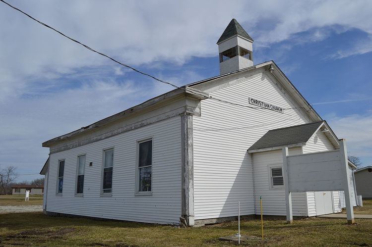
Andersonville is an unincorporated community in Posey Township in the northwest corner of Franklin County, Indiana, United States.
Contents
Map of Andersonville, IN 47024, USA
History
Andersonville, originally known as Ceylon, was laid out in 1837 by Fletcher Tevis. It was renamed in 1849 after Thomas Anderson, a tavern owner. In 1915, Andersonville had about 350 inhabitants.
Geography
Andersonville is located at 39°29′51″N 85°17′20″W at an elevation of 1050 feet. It lies at the intersection of U.S. Route 52 and the east end of Indiana State Road 244; this forms an acute angle, and the named streets run north and south in the triangle thus formed.
References
Andersonville, Indiana Wikipedia(Text) CC BY-SA