
Length 4 km (2.5 mi) Highest elevation 206 m (676 ft) | Area 4.7 km (1.8 sq mi) Width 2 km (1.2 mi) Highest point Brendøyknuten | |
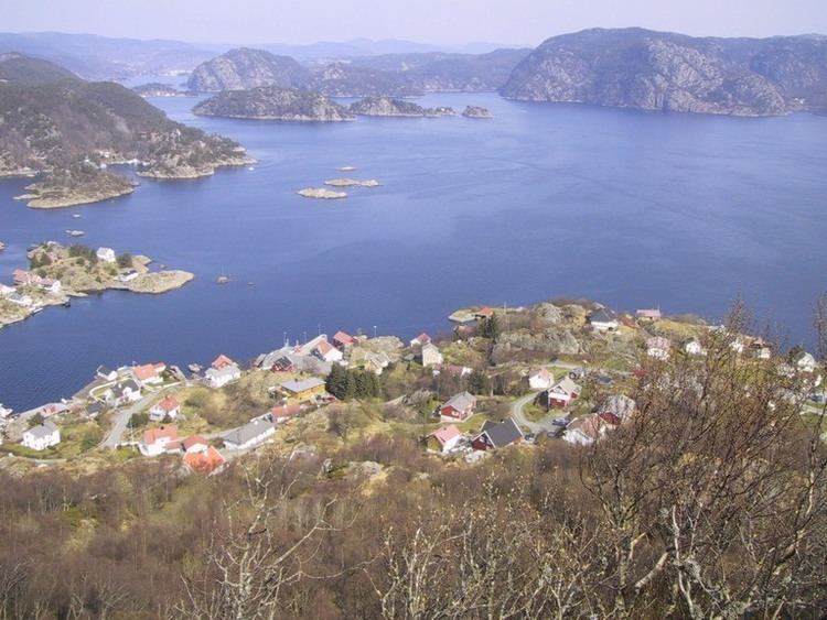 | ||
Andabeløya or Andabeløyna is a populated island in Flekkefjord municipality in Vest-Agder county, Norway. The 4.7-square-kilometre (1.8 sq mi) island lies at the mouth of the Fedafjorden, just east of the island of Hidra. The one village on the island is called Andabeløy.
Map of Andabel%C3%B8y, 4434 Andabel%C3%B8y, Norway
The island is very mountainous and rugged with all the island's population lives in the village of Andabeløy, located at the relatively flat northern end of the island. In 2015, there were about 100 residents living on the island. The island is connected to the mainland by a ferry at the north end of the island.
References
Andabeløya Wikipedia(Text) CC BY-SA