
Country Greece Lowest elevation 625 m (2,051 ft) Postal code 502 00 Local time Thursday 1:51 AM Administrative region Western Macedonia Regional unit Kozani | Highest elevation 650 m (2,130 ft) Time zone EET (UTC+2) Area code(s) +30-2463-xxx-xxx Municipality Eordaia Municipal unit Vermio, Kozani | |
 | ||
Weather 4°C, Wind NW at 8 km/h, 76% Humidity | ||
Anatoliko (Greek: Ανατολικό) is a village and a community of the Eordaia municipality. Before the 2011 local government reform it was part of the municipality of Vermio, of which it was a municipal district. The 2011 census recorded 903 inhabitants in the village.
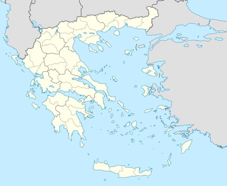
Map of Anatoliko 502 00, Greece
References
Anatoliko Wikipedia(Text) CC BY-SA