
Time zone EAT (UTC3) Local time Wednesday 11:20 PM | Area 4,380 km² | |
 | ||
Weather 27°C, Wind S at 3 km/h, 91% Humidity Points of interest Plage principale d'Anjajavy le Lodge, Plage d'Anjajavy Village, Marina | ||
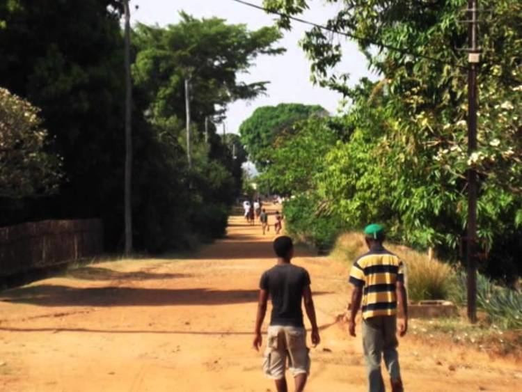
Analalava is a district in northern Madagascar. It is a part of Sofia Region and borders the districts of Ambanja in northeast, Bealanana and Antsohihy in east and Boriziny (Port-Bergé) in south. The area is 4,380 km2 (1,691 sq mi) and the population was estimated to be 89,917 in 2001.
Map of Analalava, Madagascar
The district is further divided into 11 communes.
References
Analalava District Wikipedia(Text) CC BY-SA