Postcode(s) 4702 Postal code 4702 Federal division Division of Flynn | State electorate(s) Gregory Local time Thursday 6:12 AM | |
 | ||
Location 874 km (543 mi) NW of Brisbane
314 km (195 mi) W of Rockhampton
44 km (27 mi) W of Emerald Weather 22°C, Wind E at 6 km/h, 90% Humidity Lga Central Highlands Regional Council | ||
Anakie is a town in the Central Highlands Region, Queensland, Australia. The town is located just to the south of the Capricorn Highway, 44 kilometres (27 mi) west of Emerald, and is situated in a locality called The Gemfields where sapphires are mined.
Contents
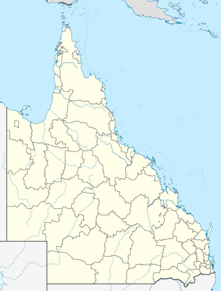
Map of Anakie, QLD 4702, Australia
History
Anakie Post Office opened on 12 March 1894 (a receiving office had been open since 1885).
References
Anakie, Queensland Wikipedia(Text) CC BY-SA
