
Established 2010 Highest point 498 m (1,634 ft) Length 17,000 m | Elevation change 114 m (374 ft) Lowest point 371 m (1,217 ft) | |
 | ||
Use Cycling, Hiking, jogging, horse riding | ||
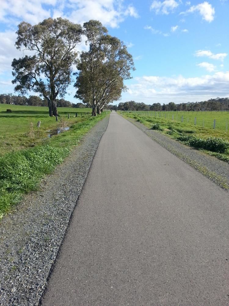
The Amy Gillett Bikeway or Amy Gillett Rail Trail is a shared path in the Adelaide Hills on part of the alignment of the former Mount Pleasant railway line. It is a 17 kilometres (11 mi) sealed path suitable for recreational cycling, walking and horse riding.
Map of Amy Gillett Bikeway, South Australia, Australia
Stage 1 was opened in January 2010 by Patrick Conlon, then the South Australian Minister for Transport, Energy and Infrastructure. Stage 1 extended 4 kilometres (2.5 mi) between Oakbank and Woodside. Stage 2 extended it through Charleston and Stage 3 opened in May 2014 added 7 kilometres (4.3 mi) to Mount Torrens. Future work could extend it another 15 kilometres (9.3 mi) through Birdwood to Mount Pleasant. There are also several side loop trails available to interesting destinations off the main path.