Elevation 1 m Local time Wednesday 3:16 AM | Time zone IST (UTC+5:30) Population 8,991 (2001) | |
 | ||
Weather 22°C, Wind N at 3 km/h, 71% Humidity | ||
Ammapettai is a panchayat town in Anthiyur taluk of Erode district in the state of Tamil Nadu, India.
Contents
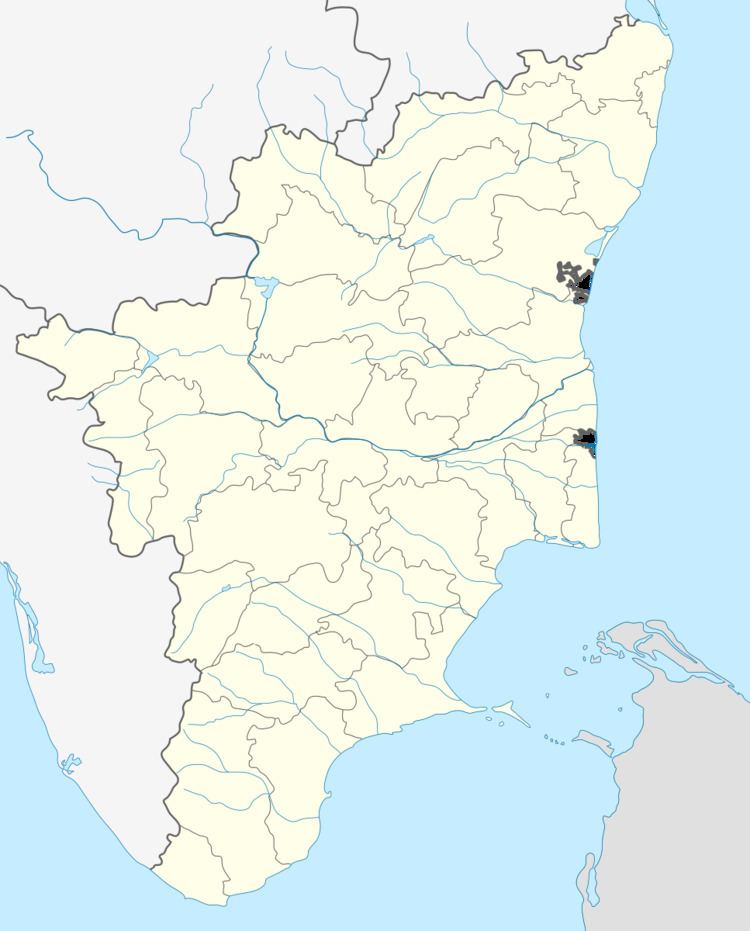
Map of Ammapettai, Tamil Nadu 638311
Geography
Ammapettai is located at 11.58°N 77.7°E / 11.58; 77.7. It has an average elevation of 1 metre (3 feet).
Demographics
As of 2001 India census, Ammapettai had a population of 8991. Males constitute 51% of the population and females 49%. Ammapettai has an average literacy rate of 54%, lower than the national average of 59.5%; with 60% of the males and 40% of females literate. 10% of the population is under 6 years of age. Ammapettai lies on the banks of the Kaveri river,and the arterial road connecting Erode and Mettur passes through the heart of the village.
Temples
A lot of temples are in and around Ammapettai. Most of the temples are for goddess Sakthi and the name of the town is due to such presence as worshiping of sakthi in the form of amma (or mother)and the land is abode for sakthi.
On the banks of river cauvery lies an ancient Siva temple. Though this place is part of the Kongunadu its interesting to see this ancient temple was built by pandya kings. The temple is known as meenakshi sokkanadar temple and is said to be more than 1000 years old. It is also said to be the first ancient Siva temple within Tamil Nadu on the banks of river cauvery.
There is also a temple dedicated to Lord Vishnu that is behind the siva temple again said to be centuries old.
