
Country United States FIPS code 23-01185 Elevation 177 m Local time Tuesday 2:11 PM | Time zone Eastern (EST) (UTC-5) GNIS feature ID 0582323 Population 265 (2010) Area code 207 | |
 | ||
Weather 9°C, Wind S at 13 km/h, 40% Humidity Area 102.6 km² (101.8 km² Land / 80 ha Water) | ||
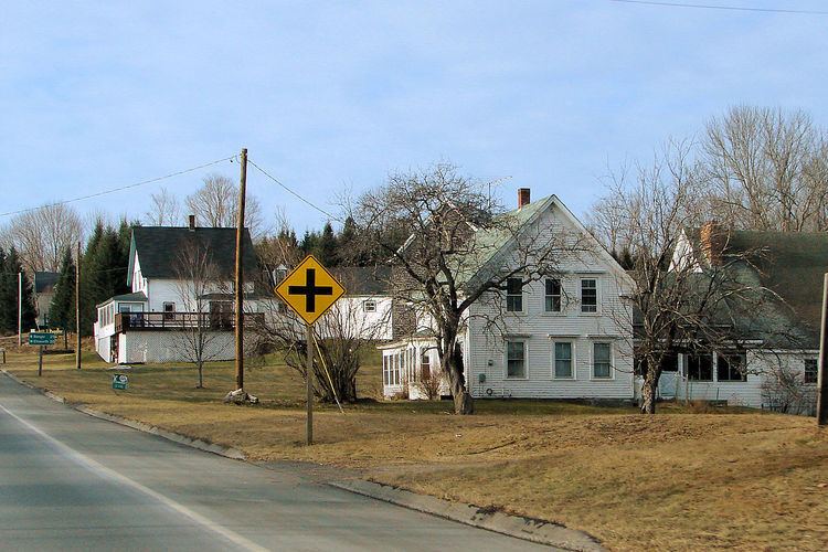
Cutler maine amherst maine waltham maine
Amherst is a town in Hancock County, Maine, United States. The population was 265 at the 2010 census.
Contents
- Cutler maine amherst maine waltham maine
- Map of Amherst ME USA
- 3 mountain view lots online only land auction in hancock county amherst maine
- Geography
- 2010 census
- 2000 census
- Notable people
- References
Map of Amherst, ME, USA
3 mountain view lots online only land auction in hancock county amherst maine
Geography
According to the United States Census Bureau, the town has a total area of 39.63 square miles (102.64 km2), of which 39.32 square miles (101.84 km2) is land and 0.31 square miles (0.80 km2) is water.
2010 census
As of the census of 2010, there were 265 people, 121 households, and 78 families residing in the town. The population density was 6.7 inhabitants per square mile (2.6/km2). There were 174 housing units at an average density of 4.4 per square mile (1.7/km2). The racial makeup of the town was 98.5% White and 1.5% from two or more races. Hispanic or Latino of any race were 0.4% of the population.
There were 121 households of which 21.5% had children under the age of 18 living with them, 52.9% were married couples living together, 5.0% had a female householder with no husband present, 6.6% had a male householder with no wife present, and 35.5% were non-families. 28.1% of all households were made up of individuals and 9.9% had someone living alone who was 65 years of age or older. The average household size was 2.19 and the average family size was 2.56.
The median age in the town was 47.4 years. 17% of residents were under the age of 18; 6.1% were between the ages of 18 and 24; 22.6% were from 25 to 44; 41.9% were from 45 to 64; and 12.5% were 65 years of age or older. The gender makeup of the town was 52.5% male and 47.5% female.
2000 census
As of the census of 2000, there were 230 people, 107 households, and 60 families residing in the town. The population density was 5.9 people per square mile (2.3/km²). There were 153 housing units at an average density of 3.9 per square mile (1.5/km²). The racial makeup of the town was 98.26% White, 0.43% Native American, 0.43% from other races, and 0.87% from two or more races. Hispanic or Latino of any race were 0.43% of the population.
There were 107 households out of which 23.4% had children under the age of 18 living with them, 49.5% were married couples living together, 1.9% had a female householder with no husband present, and 43.0% were non-families. 33.6% of all households were made up of individuals and 5.6% had someone living alone who was 65 years of age or older. The average household size was 2.15 and the average family size was 2.77.
In the town, the population was spread out with 20.0% under the age of 18, 2.6% from 18 to 24, 30.9% from 25 to 44, 34.8% from 45 to 64, and 11.7% who were 65 years of age or older. The median age was 43 years. For every 100 females there were 123.3 males. For every 100 females age 18 and over, there were 142.1 males.
The median income for a household in the town was $26,042, and the median income for a family was $30,833. Males had a median income of $27,917 versus $21,750 for females. The per capita income for the town was $16,548. About 8.1% of families and 14.9% of the population were below the poverty line, including 10.5% of those under the age of eighteen and 4.0% of those sixty five or over.