
- location near Chimney Rock - location Sweet Home Mouth South Santiam River | - elevation 2,020 ft (616 m) - elevation 551 ft (168 m) Country United States of America | |
 | ||
Ames Creek is a small tributary of the South Santiam River in the U.S. state of Oregon. It begins near Chimney Rock in the foothills of the Cascade Range in Linn County. It flows northwest to meet the river at Sweet Home, about 33 miles (53 km) by river from the South Santiam's confluence with the Santiam River. Ames Creek passes under U.S. Route 20 just before entering the river.
Contents
Map of Ames Creek, Oregon, USA
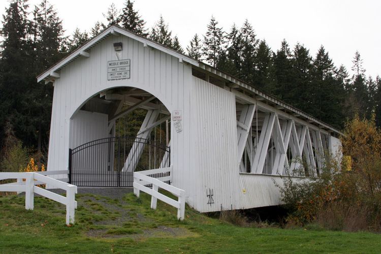
Covered bridge
Weddle Bridge, a covered bridge, spans the creek in Sankey Park in Sweet Home. The bridge originally spanned Thomas Creek elsewhere in Linn County but was rebuilt over Ames Creek in 1989.
References
Ames Creek (South Santiam River) Wikipedia(Text) CC BY-SA