
County Hamilton ZIP Code 45237, 45213 Area 9.06 km² Local time Tuesday 12:01 AM Area code 513 | Time zone Eastern (EST) (UTC-5) FIPS code 39-01672 Elevation 243 m Population 3,597 (2013) | |
 | ||
Weather 6°C, Wind W at 2 km/h, 84% Humidity Neighborhoods Arbocrest Acres, Whitetree, Brookwood | ||
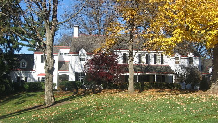
Amberley, locally known as Amberley Village, is a village in Hamilton County, Ohio, United States. The population was 3,585 at the 2010 census.
Contents
Map of Amberley, OH, USA
History
Amberley was incorporated as a village on April 5, 1940. The town was named after a village in England.
Amberley was designated a Tree City USA by the National Arbor Day Foundation. Amberley is home to French Park, owned by the city of Cincinnati.
Geography
Amberley is located at 39°11′57″N 84°25′14″W (39.199259, -84.420601).
According to the United States Census Bureau, the village has a total area of 3.50 square miles (9.06 km2), all land.
Amberley has approximately 26 miles (42 km) of streets.
Demographics
The village has a large Jewish population.
2010 census
As of the census of 2010, there were 3,585 people, 1,385 households, and 1,084 families residing in the village. The population density was 1,024.3 inhabitants per square mile (395.5/km2). There were 1,466 housing units at an average density of 418.9 per square mile (161.7/km2). The racial makeup of the village was 85.7% White, 9.5% African American, 0.1% Native American, 3.0% Asian, 0.3% from other races, and 1.4% from two or more races. Hispanic or Latino of any race were 1.3% of the population.
There were 1,385 households of which 29.2% had children under the age of 18 living with them, 71.7% were married couples living together, 4.7% had a female householder with no husband present, 1.9% had a male householder with no wife present, and 21.7% were non-families. 18.1% of all households were made up of individuals and 9.4% had someone living alone who was 65 years of age or older. The average household size was 2.59 and the average family size was 2.96.
The median age in the village was 49.1 years. 24% of residents were under the age of 18; 4.2% were between the ages of 18 and 24; 15.8% were from 25 to 44; 34.7% were from 45 to 64; and 21.4% were 65 years of age or older. The gender makeup of the village was 47.9% male and 52.1% female.
2000 census
As of the census of 2000, there were 3,425 people, 1,338 households, and 1,098 families residing in the village. The population density was 985.4 people per square mile (380.0/km²). There were 1,382 housing units at an average density of 397.6 per square mile (153.3/km²). The racial makeup of the village was 87.42% White, 8.85% African American, 0.09% Native American, 2.39% Asian, 0.32% from other races, and 0.93% from two or more races. Hispanic or Latino of any race were 0.53% of the population.
There were 1,338 households out of which 28.1% had children under the age of 18 living with them, 75.6% were married couples living together, 4.7% had a female householder with no husband present, and 17.9% were non-families. 15.8% of all households were made up of individuals and 9.4% had someone living alone who was 65 years of age or older. The average household size was 2.56 and the average family size was 2.86.
In the village, the population was spread out with 23.0% under the age of 18, 3.3% from 18 to 24, 18.3% from 25 to 44, 31.0% from 45 to 64, and 24.4% who were 65 years of age or older. The median age was 48 years. For every 100 females there were 96.3 males. For every 100 females age 18 and over, there were 92.4 males.
The median income for a household in the village was $81,492, and the median income for a family was $92,684. Males had a median income of $61,220 versus $37,750 for females. The per capita income for the village was $51,225. About 3.5% of families and 3.5% of the population were below the poverty line, including 3.5% of those under age 18 and 5.1% of those age 65 or over.