Country United States GNIS feature ID 454164 Zip code 52205 Area code 319 | Time zone (CST) (UTC-6) Elevation 313 m Local time Monday 10:55 PM | |
 | ||
Weather 7°C, Wind E at 14 km/h, 71% Humidity | ||
Amber is an unincorporated community in Jones County, Iowa, United States. Amber is northeast of Anamosa, northwest of Center Junction, south of Monticello and north of Olin. Amber is located approximately in the center of Jones County.
Contents
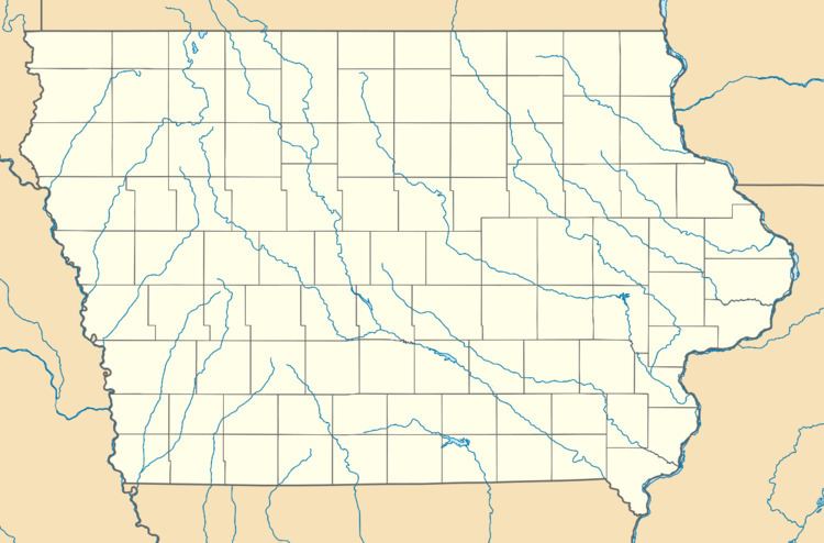
Map of Amber, IA 52205, USA
History
What would become Amber started with the Midland railroad depot of the Chicago & North-Western Railway. The founders of Amber were the Hartmans, the Sanfords and J.C. Ramsey. Mrs. C.E. Sanford & son opened a general store and J.C. Ramsey was the agent for the Midland depot. The post office was established in 1873 with T. Hartman being the first postmaster, he was also a trustee for Wayne Township. Originally called Blue Cut, due to a wide strip of blue clay nearby, the name was changed to Amber on July 1, 1878. Amber was named after a character in a novel that a resident had read.
