Time zone IST (UTC+5:30) Elevation 73 m | Area code(s) 02520_____ Population 1,174 (2011) | |
 | ||
Ambeghar (Balapur) is a village in the Palghar district of Maharashtra, India. It is located in the Vikramgad taluka.
Contents
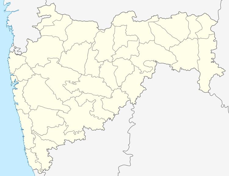
Map of Ambeghar, Maharashtra 401605
The Ambeghar panchayat administers the following habitations: Ambeghar, Jadhavpada, Jambhulpada (5-gharpada), Tandelpada and Tumbadpada.
Demographics
According to the 2011 census of India, Ambeghar (Balapur) has 276 households. The effective literacy rate (i.e. the literacy rate of population excluding children aged 6 and below) is 59.47%.
References
Ambeghar (Balapur) Wikipedia(Text) CC BY-SA
