
Country India Region Rayalaseema Taluk Madakasira Elevation 603 m Local time Monday 9:18 PM | State Andhra Pradesh District Anantapur district Time zone IST (UTC+5:30) Population 52,717 (2001) Area code 08493 | |
 | ||
Weather 27°C, Wind E at 11 km/h, 30% Humidity | ||
Amarapura or Amarapuram is a town in Anantapur district, Andhra Pradesh.
Contents
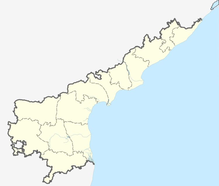
Map of Amarapuram, Andhra Pradesh 515281
Geography
Amarapuram is located at 14.1333°N 76.9833°E / 14.1333; 76.9833. It has an average elevation of 603 metres (1981 ft).
Demographics
According to Indian census, 2001, the demographic details of Amarapuram mandal is as follows:
References
Amarapuram, Andhra Pradesh Wikipedia(Text) CC BY-SA