
OS grid reference SW 482 375 Local time Monday 2:10 PM | ||
 | ||
Weather 6°C, Wind W at 35 km/h, 68% Humidity | ||
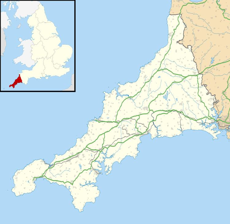
Amalveor (Cornish: Amal Veur, meaning great slope) is a hamlet in West Penwith, Cornwall, England, United Kingdom at grid reference SW 482 375. The hamlet is 3 miles (5 kilometres) south-west of St Ives. According to the Post Office the 2011 Census population was included in the civil parish of Towednack.
Map of Amalveor, Saint Ives, UK
A pair of gold bracelets were discovered at Amalveor Farm (about one mile due west of the church) on 11 December 1931 and were declared to be treasure trove. The bracelets were dated as middle Bronze Age (about 1000BC) and are now in the British Museum. To the west is Sperris Quoit.
References
Amalveor Wikipedia(Text) CC BY-SA