
OS grid reference SW 495 365 Postcode district TR20 Local time Monday 1:45 PM Post town Penzance | ||
 | ||
Weather 7°C, Wind W at 32 km/h, 68% Humidity | ||
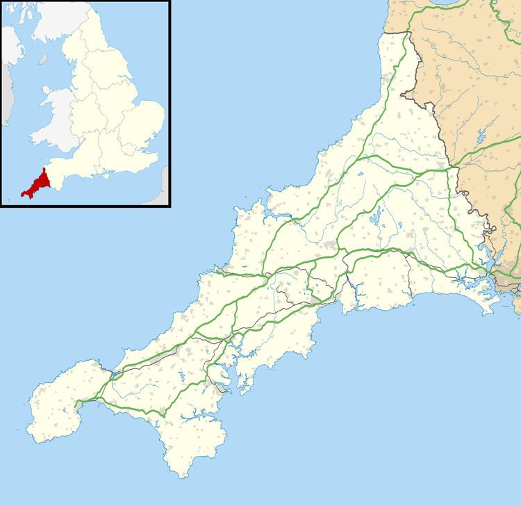
Amalebra (Cornish: Amal a-Bri, meaning from the clay of the river Amal) is a hamlet in Cornwall, England, United Kingdom, 3 miles (5 kilometres) south-west of St Ives at Ordnance Survey grid reference SW 495 365. According to the Post Office the 2011 census population was included in the civil parish of Towednack.
Map of Amalebra, Penzance, UK
References
Amalebra Wikipedia(Text) CC BY-SA