
Area 27.49 km² Local time Monday 9:49 PM | - Tree Flowering dogwood Phone number 0568-28-0001 Population 86,876 (May 2015) | |
 | ||
Region Chūbu regionTōkai region Weather 3°C, Wind W at 6 km/h, 81% Humidity | ||
Ama (あま市, Ama-shi) is a city located in Aichi Prefecture, Japan. As of May 2015, the city had an estimated population of 86,876 and a population density of 3160 persons per km². The total area was 27.49 square kilometres (10.61 sq mi).
Contents
- Map of Ama Aichi Prefecture Japan
- Geography
- Neighboring municipalities
- History
- Education
- Railway
- Highway
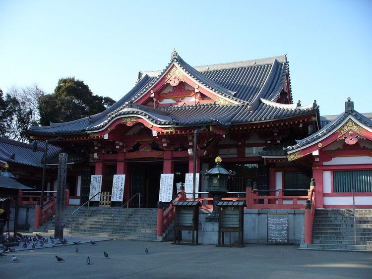
- Local attractions
- Notable people from Ama
- References
Map of Ama, Aichi Prefecture, Japan
Geography
Ama is located in the far west of Aichi Prefecture.
Neighboring municipalities
History
Ama was part of the former Owari Province, which formed the holdings of the Owari Tokugawa of Nagoya in the Edo period. During the Meiji period, the area was organized into several villages under Ama District, Aichi Prefecture. From the Meiji period, the area was a center for Cloisonné production. Jimokuji, was elevated to town status on October 1, 1933, Miwa in 1958 and Shippō in 1966. The three towns, plus the town of Ōharu began merger discussions in 2008; however, an agreement could not be made with Ōharu, which left the discussions later that year. The remaining three towns passed a referendum in 2009, and the new city of Ama was created on March 22, 2010.