
Area 375.1 km² | Local time Monday 2:06 AM | |
 | ||
Weather 15°C, Wind SW at 21 km/h, 54% Humidity | ||
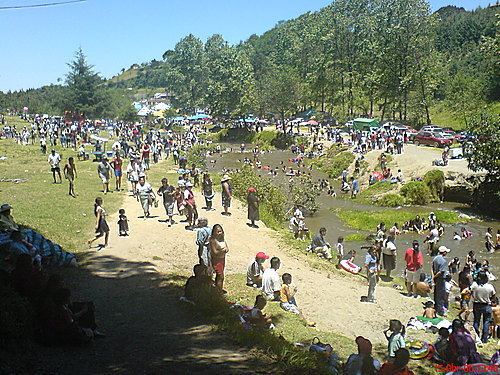
Altotonga Municipality (Spanish: Municipio de Altotonga) is a municipality in Veracruz, Mexico. It is about 80 km from state capital Xalapa to the north-west. It has an area of 375.1. km2 It is located at 19°46′N 97°15′W.
Map of Altotonga, Ver., Mexico
Altotonga Municipality is delimited to the east by Misantla, to the south by Tenochtitlán, Tatatila, Las Minas, Villa Aldama and Perote to the west by Jalacingo and to the north by Atzalan and Misantla.
It produces maize, beans, potatoes, and faba bean.
References
Altotonga (municipality) Wikipedia(Text) CC BY-SA