
Time zone CST (UTC-6) Elevation 253 m Local time Monday 1:35 AM | Established February 28, 1860 ZIP codes 60530, 60553, 61068 Area 90.49 km² Population 565 (2010) | |
 | ||
Weather 0°C, Wind S at 0 km/h, 93% Humidity | ||
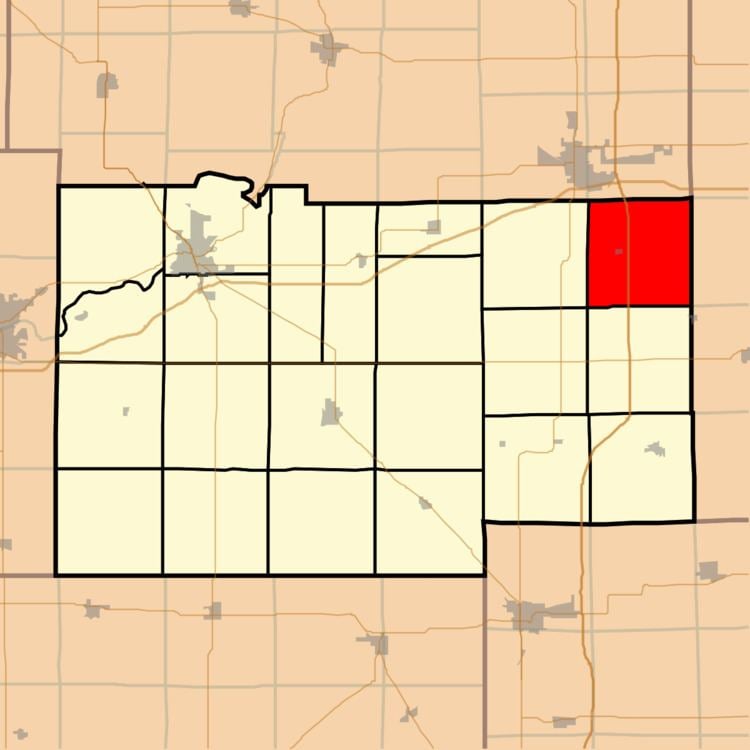
Alto Township is one of twenty-two townships in Lee County, Illinois, USA. As of the 2010 census, its population was 565 and it contained 230 housing units.
Contents
- Map of Alto Township IL USA
- Geography
- Cities towns villages
- Cemeteries
- Airports and landing strips
- School districts
- Political districts
- References
Map of Alto Township, IL, USA
Geography
According to the 2010 census, the township has a total area of 34.94 square miles (90.5 km2), of which 34.9 square miles (90 km2) (or 99.89%) is land and 0.04 square miles (0.10 km2) (or 0.11%) is water.
Cities, towns, villages
Cemeteries
The township contains these two cemeteries: Steward and Union.
Airports and landing strips
School districts
Political districts
References
Alto Township, Lee County, Illinois Wikipedia(Text) CC BY-SA