
Country Brazil Area 25,567 km² | Time zone BRT-1 (UTC-4) Local time Monday 3:25 AM | |
 | ||
Weather 23°C, Wind E at 8 km/h, 81% Humidity | ||
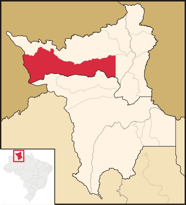
Alto Alegre is a city in the Brazilian state of Roraima. The population in 2015 was 16,176, and the area is 25,567 km². Its limits are Amajari to the north, Boa Vista in the east, Mucajaí and Iracema in the south, and Venezuela in the west.
Map of Alto Alegre - State of Roraima, Brazil
The municipality contains part of the Roraima National Forest.
References
Alto Alegre, Roraima Wikipedia(Text) CC BY-SA