
Founded May 19, 1976 Area 8,947 km² Local time Monday 12:12 AM Number of airports 1 | Region Center-West Mesoregion Norte Mato-Grossense Time zone UTC -4 Elevation 283 m Population 50,082 (2016) | |
 | ||
Weather 23°C, Wind E at 0 km/h, 100% Humidity University Faculdade de Direito de Alta Floresta | ||
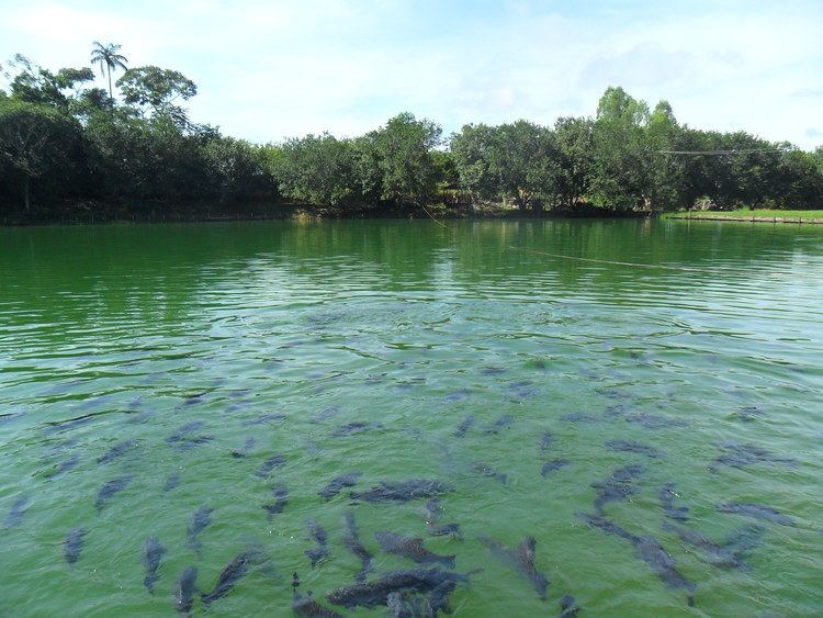
Alta Floresta (Portuguese for "High Forest") is a municipality in Mato Grosso, Brazil. It is located at around 9°53′10″S 56°5′14″W.
Map of Alta Floresta - State of Mato Grosso, Brazil
The municipality is served by Piloto Osvaldo Marques Dias Airport.
The municipality contains a small part of the 184,900 hectares (457,000 acres) Cristalino State Park, created in 2001.
References
Alta Floresta Wikipedia(Text) CC BY-SA