
Country United States GNIS feature ID 403461 Local time Sunday 10:21 PM | Time zone Central (CST) (UTC-6) Elevation 229 m Area code 309 | |
 | ||
Weather 3°C, Wind S at 11 km/h, 59% Humidity | ||
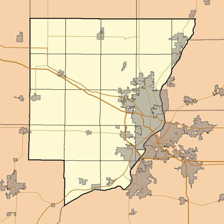
Alta is an unincorporated community on the northwest border of Peoria in Peoria County, Illinois, United States. Alta is 8 miles (13 km) north-northwest of downtown Peoria. The decommissioned Illinois State Route 174 runs through Alta, and the Rock Island Trail begins in Alta.
Contents
Map of Alta, IL 61615, USA
History
Alta was laid out in 1873 when the railroad was extended to that point. The community was so named on account of its lofty elevation. A post office was established at Alta in 1873, and remained in operation until the 1950s.
References
Alta, Illinois Wikipedia(Text) CC BY-SA