
Population 442 (2011 census) Territory electorate(s) Barkly Postal code 4825 Lga Barkly Region | Postcode(s) 4825 Area 10 km² Local time Monday 9:07 AM Federal division Division of Lingiari | |
 | ||
Location 638 km (396 mi) from Tennant Creek
639 km (397 mi) from Alice Springs Weather 32°C, Wind S at 11 km/h, 26% Humidity | ||
Alpurrurulam (20°58′S 137°55′E), also known as Lake Nash, is a small town in the Northern Territory, Australia, 600 km east of Tennant Creek and 17 km from the NT–Queensland border.
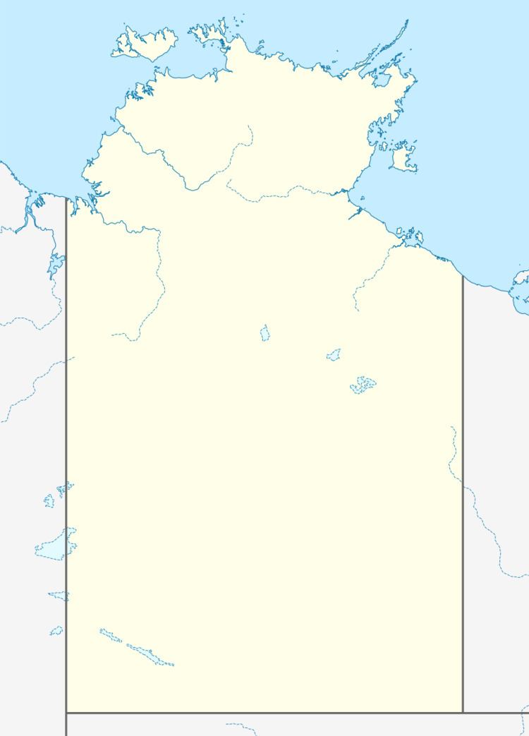
Map of Alpurrurulam NT 4825, Australia
The 2011 Census counted 442 residents, with 87.5% of them Aboriginal. The town is at the end of the Sandover Highway, which floods each year during the wet season and cuts all road access to the community.
The Alpurrurulam Community Government Council has now been dissolved, with the town now part of the Barkly Region. The town boasts the only school in the area, a health clinic, and a store (known as Warte Store), as well as a small Australian rules football club.
The town is usually called Alpurrurulam or Lake Nash. Mostly the town is referred to as "Lake Nash" in everyday speaking and for mail delivery (via Mount Isa) and "Alpurrurulam" for all official matters, such as a census. Alpurrurulam was established in the early 1980s as a 1,000-acre (4.0 km2) excision from the 3-million-acre (12,000 km2) Lake Nash Station. The main language group in the area is Alyawarre.