
Name Alonso de | ||
 | ||
Born 1494 (age 26) Died 1520 (aged 26) Similar Hernán Cortés, Francisco Vázquez de Coronado, Luis de Moscoso Alvarado | ||
Facsímil del mapa de La Florida de 1519, de Alonso Álvarez de Pineda
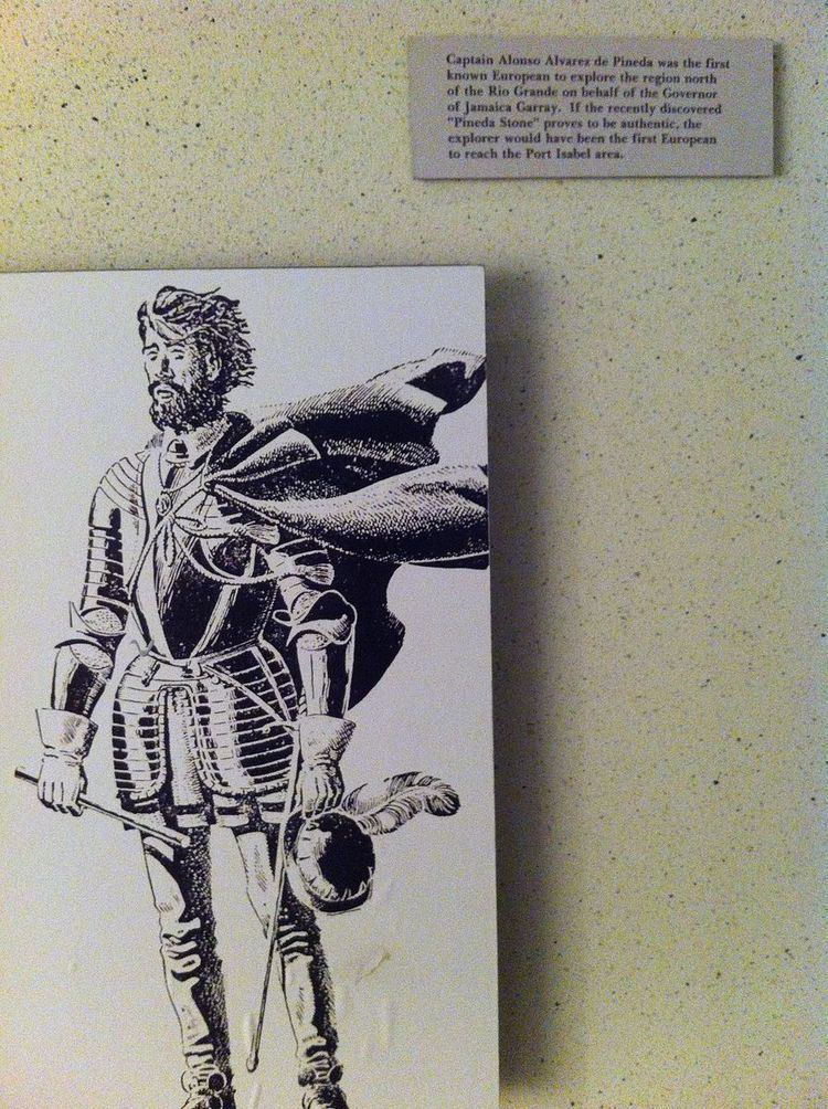
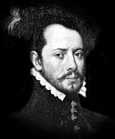
Alonso Álvarez de Pineda([piˈneða]; Aldeacentenera, 1494-1520) was a Spanish explorer and cartographer who was first documented in Texas history. In 1517, Alonso Alvarez de Pineda had led several expeditions to map the western coastlines of the Gulf of Mexico, from the Yucatán Peninsula to the Pánuco River, just north of Veracruz. Ponce de León had previously mapped parts of Florida, which he believed to be an island. Antón de Alaminos' exploration eliminated the western areas as being the site of the passage, leaving the land between the Pánuco River and Florida to be mapped.
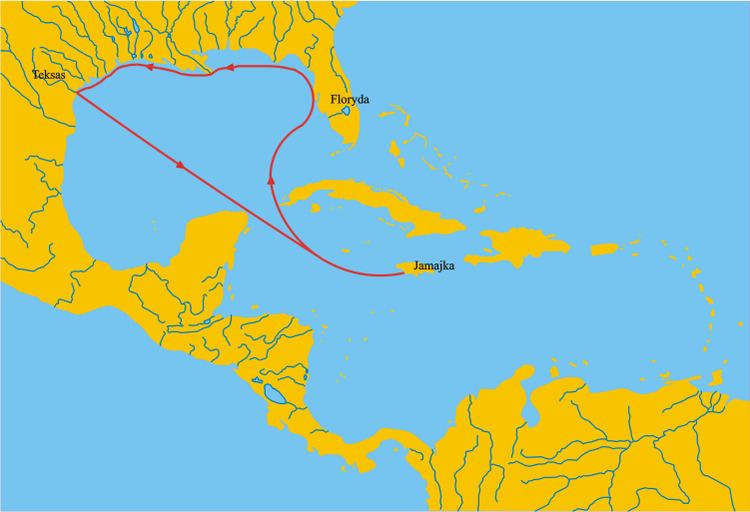
Alaminos persuaded the governor of Santiago, Francisco de Garay, to finance an expedition to search the remainder of the Gulf. Garay outfitted three ships with two hundred and seventy soldiers, and placed them under the command of Alvarez de Pineda. He left Santiago (now Jamaica) in early 1519 and sailed west to follow the northern coastline of the Gulf. At the western tip of Southern Florida, he attempted to sail east, but the winds were uncooperative. Instead, Alvarez de Pineda sailed west from the Florida Keys to hug the Gulf Coast.
On June 2, 1519, Alvarez de Pineda entered a large bay with a sizable Native American settlement on one shore. He sailed upriver for eighteen miles and observed as many as forty villages on the banks of the large, deep river he named "Espíritu Santo". Long assumed to have been the first European report of the mouth of the Mississippi River, the description of the land and its settlement has led many historians to believe he was describing Mobile Bay and the Alabama River.
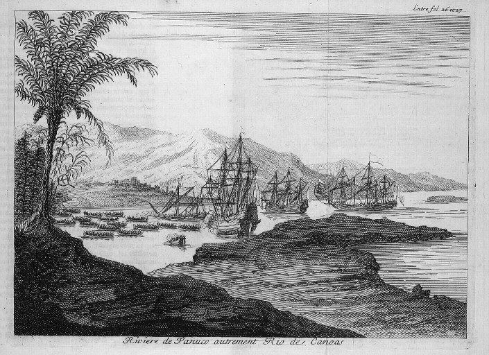
Alonzo Alverez de Pineda continued his journey westward. On June 24, 1519, on the Roman Catholic Feast Day of Corpus Christi, he sailed in to what he named Corpus Christi Bay. There is no reliable evidence that he ever disembarked on the shores of Texas, but he anchored off of Villa Rica de la Veracruz shortly after Hernán Cortés had departed. Cortés returned on hearing of Alvarez de Pineda's arrival. Alvarez de Pineda wished to establish a boundary between the lands he was claiming for Garay and those that Cortés had already claimed; Cortés was unwilling to bargain, and Alvarez de Pineda left to retrace his route northward. Shortly thereafter, he sailed up a river he named Las Palmas, where he spent over 40 days repairing his ships. The Las Palmas was most likely the Panuco River near present-day Tampico, Tamaulipas, Mexico.
Although de Pineda was killed in a battle with the natives at the Panuco river, his map made it back to Governor Garay.
The expedition established the remainder of the boundaries of the Gulf of Mexico, while disproving the idea of a sea passage to Asia. It also verified that Florida was a peninsula instead of an island, and allowed Alvarez de Pineda to be the first European to see the coastal areas of what is now western Florida, Alabama, Mississippi, Louisiana, and Texas, lands he called "Amichel." His map is the first known document of Texas history and was the first map of the Gulf Coast region of the United States and is stored at the Archivo General de Indias in Spain.