
Founded by Libyan Jews Founded 1 September 1949 | Affiliation Hapoel HaMizrahi Population (2015) 679 Local time Sunday 6:00 PM | |
 | ||
Weather 14°C, Wind SW at 10 km/h, 35% Humidity | ||
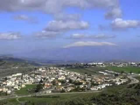
Alma (Hebrew: עַלְמָה) is a religious Jewish moshav in the Upper Galilee in northern Israel. It falls under the jurisdiction of the Merom HaGalil Regional Council. In 2015 it had a population of 679.
Contents
Map of Alma, Israel
History
Under the Judaea Province, a Jewish town was situated at this spot. The name Alma is first mentioned in the crusader era. The Jewish community existed until the 17th century. Benjamin of Tudela said that during his visit, he found 50 Jewish families living in Alma.
Modern Alma was founded on 1 September 1949 by immigrants to Israel from Libya. In 1953 a group of converts to Judaism, known as the Jews of San Nicandro, arrived from Italy. They later abandoned Alma to live in other nearby moshavim. After the Italians left, Cochin Jews arrived from India.
Archaeology
Near the moshav's cemetery lie the remnants of what has been identified as a synagogue, perhaps dating to the 3rd century, though it has never been systematically excavated or properly researched. Also nearby are several tombs, including that of Eleazar ben Arach, and one which is traditionally recognized as Eliezer ben Hurcanus' tomb.
The nearby site of Arab village of Alma, whose land Alma stands on, was destroyed in the 1948 Arab–Israeli War.
Geography
Alma is located about 600 m above sea level, in an area called Alma Heights, bordered by the Dishon Stream. The Dishon Stream Nature Reserve is located next to the village, as well as the Circassian village Rehaniya.