
Population 889 (2011 census) Local time Monday 12:41 AM | Postcode(s) 4362 Postal code 4362 | |
 | ||
Weather 18°C, Wind SE at 14 km/h, 80% Humidity | ||
Allora queensland australia
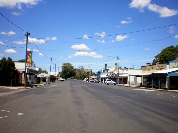
Allora is a town and locality in south-eastern Queensland, Australia, on the Darling Downs 158 kilometres (98 mi) south-west of the state capital, Brisbane. The town is in the Southern Downs Region. The township is located on the New England Highway between Warwick and Toowoomba. At the 2011 census, Allora had a population of 889.
Contents
- Allora queensland australia
- Map of Allora QLD 4362 Australia
- History
- Talgai skull
- Heritage listings and local attractions
- Notable residents
- References
Map of Allora QLD 4362, Australia
History
The region surrounding this small farming community was first explored by Europeans in the 1840s; the town was surveyed in 1859. Its name is believed to derive from an Aboriginal word "gnarrallah", meaning waterhole or swampy place.
Following European settlement, the history of the area is entwined with two famous pastoral homesteads in the vicinity of Allora: Glengallan and Talgai . Both properties ran sheep.
The original "Talgai" run was taken up by E. E. Dalrymple in 1840. The creek that runs through Allora is named in his honour. Built in 1868 for the Clark family, Talgai Homestead stood on 300,000 acres (1,200 km²). The homestead is built of sandstone and covers sixty squares. It is now a bed and breakfast.
Allora Post Office opened on 31 March 1863.
The Allora State School opened on 1 May 1867. On 31 December 2008, it was renamed Allora P-10 State School.
From the 1870s, red cedar, pine and beech logged from the Goomburra valley were milled at Allora.
From 1869, Allora had its own local government (initially Borough of Allora, from 1903 Town of Allora). In 1915, it was merged with the surrounding Shire of Clifton to create the Shire of Allora, which was administered from the Shire's offices at 78 Herbert Street in Allora. In 1994, the Shire of Allora was amalgamated into the Shire of Warwick.
The Methodist Church opened in 1896.
The Allora Boer War Memorial was unveiled on 19 October 1904 by Colonel Henry Chauvel.
The Allora Shire Soldiers Memorial was unveiled on 11 November 1921 by General J.C. Robertson and the mothers of those who died.
Talgai skull
In 1886 the first fossil evidence of early human occupation in the area, the Talgai skull, was found on Talgai Homestead, embedded in the wall of Dalrymple Creek. Radiocarbon dating suggests the Talgai skull is between 9,000 and 11,000 years old. It is believed to be the skull of a boy of approximately 15 years of age who had been killed by a massive blow to the side of the head.
Heritage listings and local attractions
Local attractions include the Goomburra Forest Reserve, part of which was World Heritage listed in 1994 by UNESCO.
The Talgai skull is located in the Shellshear Museum, Department of Anatomy, Sydney University. A replica is found in the Allora Museum.
The old bank building in Herbert Street building is known locally as the "Mary Poppins house", after resident P. L. Travers' most famous work.
Allora has a number of heritage-listed sites, including: