
State California City San Diego | County San Diego | |
 | ||
Country United States of America Restaurants Chamorro Grill, Brothers' Giant Pizza, Mr Spicy, El Rodeo Taco Shop & Grill, Emiliano's Mexican Restaurant | ||
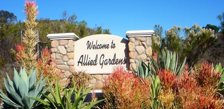
Allied Gardens is a residential neighborhood in the eastern Navajo community of San Diego, California. It neighbors San Carlos to the east, Del Cerro to the south, the College Area to the southeast and Grantville to the southwest.
Contents
Map of Allied Gardens, San Diego, CA, USA
History
Allied Gardens was developed by Louis L. Kelton and Walter Bollenbacher in 1955. They purchased the 1,000 acres (4 km²) from the Waring estate. Their original business name was the Allied Contractors, hence the name.
Facilities
The Allied Gardens Recreation Center and Allied Gardens Pool are located on Greenbrier Avenue, next to Lewis Middle School. Further down the hill, just off Greenbrier on Estrella, are the community Little League fields. The area has a small business district located on Waring road between Orcutt and Zion, where it borders the community of Grantville. The abundance of parks and schools in the community has resulted in a very family-friendly reputation.
Education
The area is served by the San Diego Unified School District. The neighborhood contains Foster Elementary School, Marvin Elementary School, and Lewis Middle School. Older students from the area attend Patrick Henry High School, located between San Carlos and Del Cerro on Wandermere Ave.
Governance
The area is part of City Council District 7, represented by Councilman Scott Sherman. It is part of the Navajo Community Planning Area. In 2005 the City Council granted the area status as a redevelopment area.