
Postcode(s) 4285 | Postal code 4285 | |
 | ||
Location 50 km (31 mi) south of Brisbane | ||
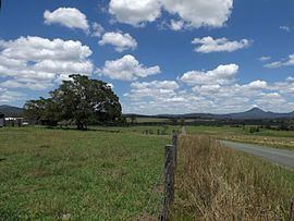
Allenview is a locality in the Scenic Rim Region, Queensland, Australia. Most of the eastern boundary is marked by the Logan River where irrigated agriculture is the predominate land use. The North Coast railway line also marks a section of the eastern boundary. In the west is the Wyaralong Dam and Teviot Brook which aligns with a small section of the western boundary.
Map of Allenview QLD 4285, Australia
References
Allenview, Queensland Wikipedia(Text) CC BY-SA