Country Canada Post office Founded 1913-12-01 Postal code S0C 0B0 Population 131 (2011) Area code 306 | Rural Municipality 32 Time zone Central (UTC-6) Area 37 ha Province Saskatchewan Local time Saturday 7:02 AM | |
 | ||
Weather -11°C, Wind NW at 18 km/h, 89% Humidity | ||
Alida (2006 Population 106) is a village, in southeastern Saskatchewan, Canada, approximately 85 km east of Estevan. Farming and oil are the major local industries. Several ghost towns are in the vicinity, including Nottingham to the east, Auburton, to the west, and Cantal to the northwest.
Contents
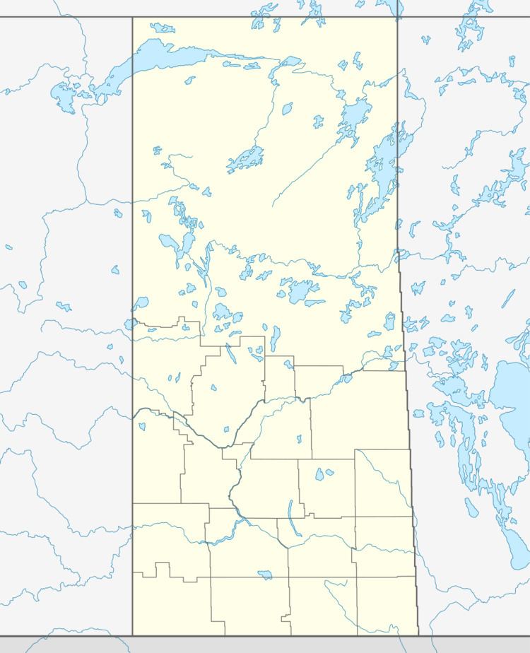
Map of Alida, SK, Canada
Amenities in Alida include a Credit Union, a post office, Center Street Groceries (grocery/liquor store), the Wayline Inn, Maggie's Diner, Alida Farm & Auto (autobody shop), Fuller's Bus Service Ltd, a library, Three Star Trucking Ltd, and a skating/curling rink. Alida Memorial Hall is the location of weekly bingos and an annual dinner theatre. The local school closed down in 2005, and students are bused to Carnduff, Oxbow, or Redvers schools.
The local hockey team is the Alida Wrecks.
History
Alida was founded as a Canadian Pacific rail station in the late 19th century, and it was named for Lady Alida Brittain The rail line was closed in 1976 when a spring storm washed out the rail bridge near Lauder Manitoba, at the beginning of the line. The economic viability of the line had been in question for some time, so the bridge was never repaired. Track was removed beginning in 1978. The local area was settled by immigrants from Europe, and other parts of North America.
