
Country United States Area 51.8 km² | Population 127,764 (2010) | |
 | ||
Website Alhambra Village Planning Committee Weather 6°C, Wind NE at 6 km/h, 66% Humidity Hotels Grand Canyon University, Hotel 502, Maricopa Manor Bed & Breakfa, Motel 6, Camelback Sahara Hotel | ||
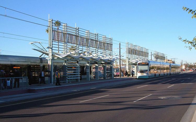
Alhambra is one of the fifteen urban villages of Phoenix, Arizona. Located only a couple miles from downtown, Alhambra is an example of older suburban development in Phoenix. The boundaries of the village are marked on the west by 43rd Avenue/City of Glendale, 7th Street on the east, Northern Avenue to the north, and Grand Avenue and the Grand Canal to the south. The northwestern terminus of the METRO Light Rail is in Alhambra.
Contents
Map of Alhambra, Phoenix, AZ, USA
Demographics
As of 2010, Alhambra had a population of 127,764 living in an area of roughly 20 square miles, giving a density of about 6,400/square mile. 61.1% of residents were white, 6.6% were black or African American, 3.4% were American Indian or Alaska Native, and 4.1% were Asian or Pacific Islander. 21% of residents were some other race, and 3.9% were persons of two or more races.