
Population 5,174 (2011 census) State electorate(s) Charlestown Area 3.1 km² Parish Newcastle | Postcode(s) 2289 Adamstown Heights Merewether Postal code 2289 Federal division Division of Newcastle | |
 | ||
Location 8 km (5 mi) WSW of Newcastle
3 km (2 mi) NE of Charlestown LGA(s) City of Lake Macquarie
City of Newcastle | ||
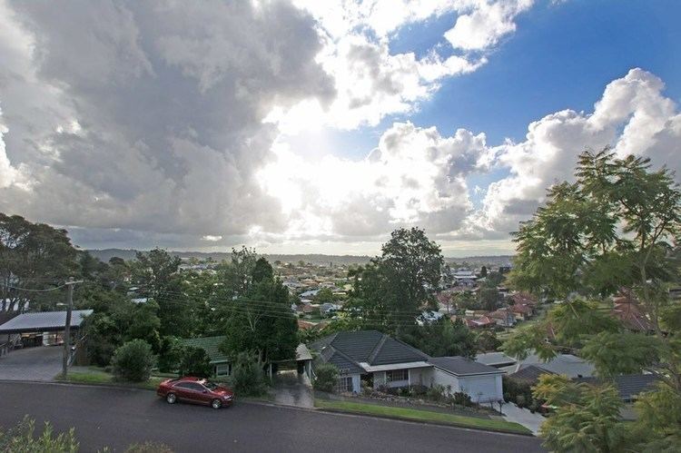
Adamstown Heights is a southern suburb of Newcastle, New South Wales, Australia, located 8 kilometres (5 mi) west-southwest of Newcastle's central business district along the Pacific Highway. It is split between the City of Lake Macquarie and City of Newcastle local government areas.
Map of Adamstown Heights NSW 2289, Australia
The suburb contains two schools, Kotara High School, established in 1968 and containing 3 hectares of native bushland, and Belair Primary School. The suburb is served by Westfield Kotara, formerly Garden City Kotara, and originally Kotara Fair, on its northern border.
Adamstown Heights is located on several bus routes and is near two railway stations on the Central Coast & Newcastle Line, Kotara and Adamstown.
Adamstown Heights had a population of 5,174 in 2011.
References
Adamstown Heights, New South Wales Wikipedia(Text) CC BY-SA