
Country United States GNIS feature ID 0453080 Area 145.2 km² Population 5,825 (2010) | ZIP codes 47832, 47872 Elevation 182 m Local time Thursday 1:03 AM | |
 | ||
Weather 2°C, Wind NW at 21 km/h, 71% Humidity | ||
Adams Township is one of thirteen townships in Parke County, Indiana, United States. As of the 2010 census, its population was 5,825 and it contained 2,062 housing units.
Contents
- Map of Adams Township IN 47872 USA
- History
- Geography
- Cities towns villages
- Unincorporated towns
- Cemeteries
- Major highways
- Airports and landing strips
- School districts
- Political districts
- References
Map of Adams Township, IN 47872, USA
History
Adams Township was named for James Adams, a pioneer settler, but the date of the township's organization is unknown because early records were lost.
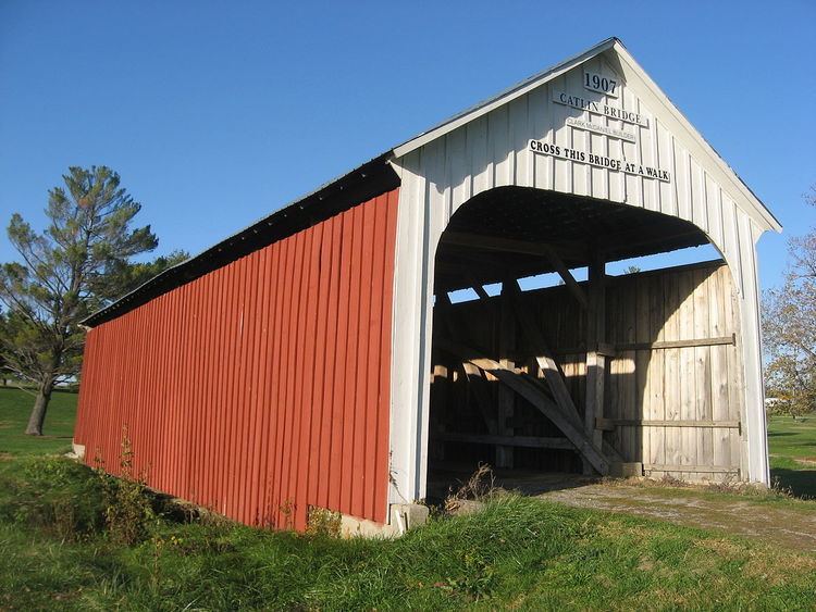
The Beeson Covered Bridge, Billie Creek Covered Bridge, Catlin Covered Bridge, Crooks Covered Bridge, Leatherwood Station Covered Bridge, McAllister Covered Bridge, Neet Covered Bridge, and Sanitorium Covered Bridge were listed on the National Register of Historic Places in 1978.
Geography
According to the 2010 census, the township has a total area of 56.07 square miles (145.2 km2), of which 55.8 square miles (145 km2) (or 99.52%) is land and 0.27 square miles (0.70 km2) (or 0.48%) is water.
Cities, towns, villages
Unincorporated towns
(This list is based on USGS data and may include former settlements.)
Cemeteries
The township contains these four cemeteries: Hatfield, Memory Garden, Rowe and Union.