
Area 822.5 km² | ||
 | ||
Weather 26°C, Wind NE at 11 km/h, 76% Humidity | ||
Actopan Municipality is a municipality located in the montane central zone in the State of Veracruz, about 50 km from state capital Xalapa. It has a surface of 822.54 km2. It is located at 19°30′N 96°37′W. Actopan, the municipal head-board is a small city, located closely of the capital of the state; for its nature, the extraordinary richness of its lands and the determination of its population has placed to this region as one of the most important zones of production of Mango of the State.
Contents
Geographic Limits
The municipality of Actopan is delimited to the east by the Golfo de Mexico, to the south by the Emiliano Zapata, to the west by the Naolinco, and to the north by Alto Lucero. It is watered by the river Actopan, which it is born in Cofre de Perote, ends in the Gulf of Mexico, forming the Barra de Chachalacas.
Agriculture
It produces principally maize, beans and the most important the mango production.
Celebrations
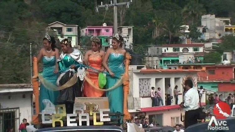
In Actopan , in October takes place the celebration in honor to San Francisco de Asís, Patron of the town, and in December takes place the celebration in honor to Virgen de Guadalupe also a Mexican celebration called El dia de los muertos which means Day Of the dead.
Weather
The weather in Actopan is warm and wet all year with rains in summer and autumn.