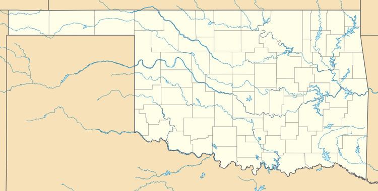
Country United States GNIS feature ID 1100162 | Time zone Central (CST) (UTC-6) Local time Wednesday 5:29 AM | |
 | ||
Weather 6°C, Wind N at 19 km/h, 57% Humidity | ||
Acme is a ghost town in Grady County, Oklahoma, United States. It had a post office from April 8, 1913 to May 29, 1931.
Contents
Map of Acme, OK 73082, USA
The former community was 3 miles (4.8 km) west of the present community of Rush Springs, Oklahoma.
History
The town of Acme developed when the Acme Cement and Plaster Company built a mill and power plant in the area in 1911. Gypsum was mined from the area. The Chicago, Rock Island and Pacific Railroad built a spur to serve the plant. At its peak production, the plant employed 100 to 125 workers to produce 6 to 8 railcar loads of product every day. When the nearby gypsum beds were exhausted, the company built a narrow-gauge railroad between the Acme plant and some other beds near the Little Washita River. A flood covered these additional beds with several feet of sand in 1927. Work continued on these beds, but this was unprofitable. After 1930, the entire venture became unprofitable and the company closed everything. The railroad was abandoned in 1930.
Very little is left of the former town, except for a few houses and some concrete ruins of the mill. The mill machinery was all moved away. Most of the former supporting structures, such as the school, boarding houses and general store were later torn down.
Geography
Elevation is 1,286 feet.
