
OS grid reference SO769988 Post town WOLVERHAMPTON Local time Wednesday 10:35 AM | Sovereign state United Kingdom Postcode district WV6 Dialling code 01746 | |
 | ||
Weather 7°C, Wind SW at 14 km/h, 79% Humidity | ||
Ackleton is a village in the English county of Shropshire.
Map of Ackleton, Wolverhampton, UK
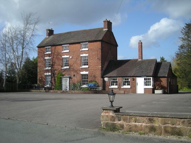
Situated some seven miles (11 kilometers) from the market town of Bridgnorth, this village is the home of the two pub and restaurants The Red Cow and The Folley. Convenient for both Wolverhampton and Telford, this rural retreat is surrounded by open fields and views. It also shares its territory with Badger Dingle, which is a forest area often visited by walkers and hikers. Ackleton is most situated by small quaint cottages. The open fields are great for walking or hiking. The area attracts many dog walkers.
The architecture for the housing in Ackleton dates back to Tudor times.
References
Ackleton Wikipedia(Text) CC BY-SA