
OS grid reference NH489596 Sovereign state United Kingdom Fire Scottish Local time Wednesday 9:13 AM Lieutenancy area Highland | Country Scotland Police Scottish Ambulance Scottish Council area Highland | |
 | ||
Weather 2°C, Wind SW at 10 km/h, 84% Humidity | ||
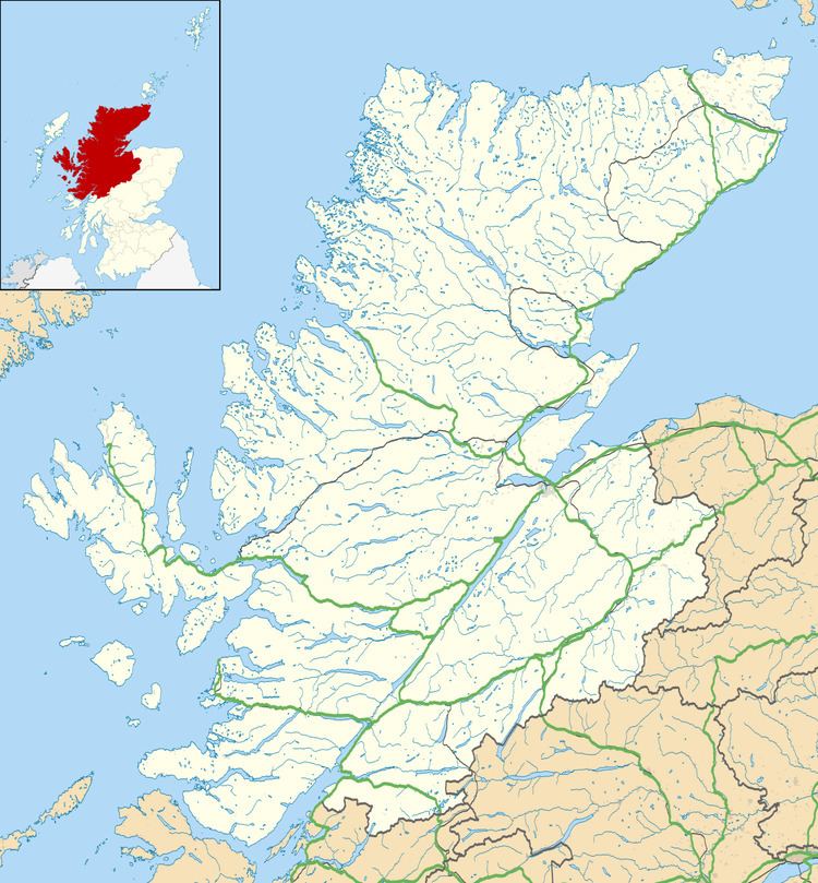
Achterneed (Scottish Gaelic: Uachdar Niad), also spelled Auchterneed, is a village in Highland, Scotland, lying on the slopes above Strath Peffer.
Map of Auchterneed, Strathpeffer, UK
Achterneed lies within the environs of Castle Leod, seat of the Earl of Cromartie, and within two miles of Strathpeffer. While there are few amenities in the village itself, there is a public phone box and post box.
Achterneed railway station, which lies next to a level crossing, used to serve the Dingwall and Skye Railway, but was closed in 1965 and all-but demolished. The station house, while remaining, is now a private residence.
The Heights of Achterneed (Scottish Gaelic: Àirdean Uachdair Niad), lying to the north, is a small dispersed crofting settlement, which, today, is often considered to be part of Achterneed itself.
The surrounding hillside also plays host to the crofting settlements of Bottacks (Scottish Gaelic: Na Botagan), the Heights of Inchvannie (Scottish Gaelic: Àirdean Innis Mheannaidh) and the Heights of Keppoch (Scottish Gaelic: Àirdean Cheapaich).