
Vehicle registration ΕΡ | Time zone EET (UTC+2) Local time Wednesday 10:49 AM | |
 | ||
Weather 8°C, Wind SE at 5 km/h, 88% Humidity | ||
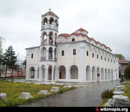
Relaxing while hearing the birds melody achladochori serres
Achladochori (Greek: Αχλαδοχώρι; Bulgarian: Крушево, Krushevo; both meaning "pear village") is a village and a former community in the Serres regional unit, Greece. Since the 2011 local government reform it is part of the municipality Sintiki, of which it is a municipal unit. The municipal unit has an area of 187.019 km2. Population 861 (2011).
Contents
- Relaxing while hearing the birds melody achladochori serres
- Map of Achladochori 623 00 Greece
- References
Map of Achladochori 623 00, Greece
References
Achladochori, Serres Wikipedia(Text) CC BY-SA